Explore Waypoints
Discover Kentucky's most interesting natural features including arches, caves, lakes, streams, and waterfalls. Click on a waypoint to view the trail that it can be found on.
Arches
Bat Cave Arch
Bat Cave Arch is located to the right after exiting the backside of the Carter Caves Natural Bridge. You will cross a creek and follow a short trail to the arch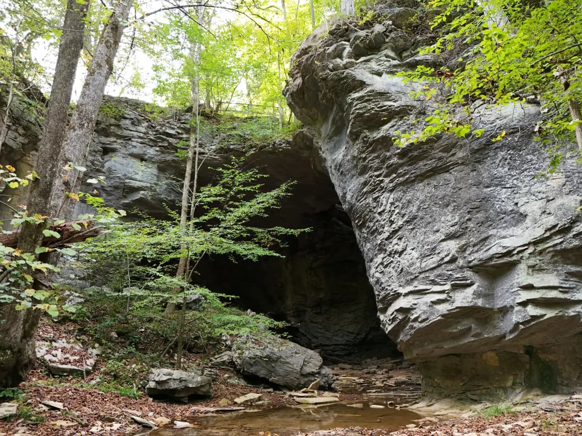
Carter Caves Natural Bridge
The Carter Caves Natural Bridge is only the natural bridge in Kentucky that supports a paved road.
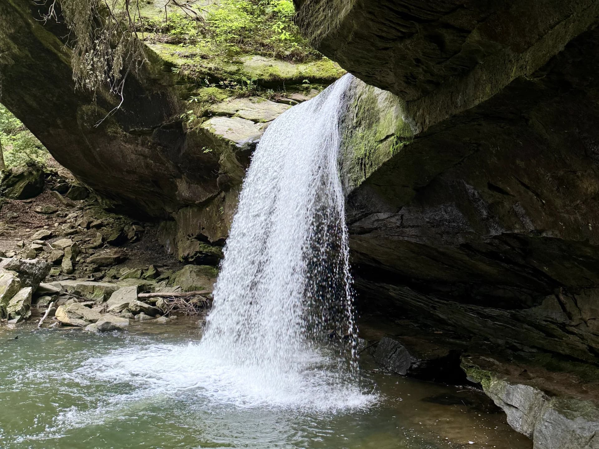
Cascade Bridge
Located in the center of Box Canyon Trail at Carter Caves State Resort Park, you will find Cascade Natural Bridge. From the front, this arch does not appear to fit the profile of typical arches but after inspecting it from the side, you will clearly defined gaps that separate it from the rock formation behind. 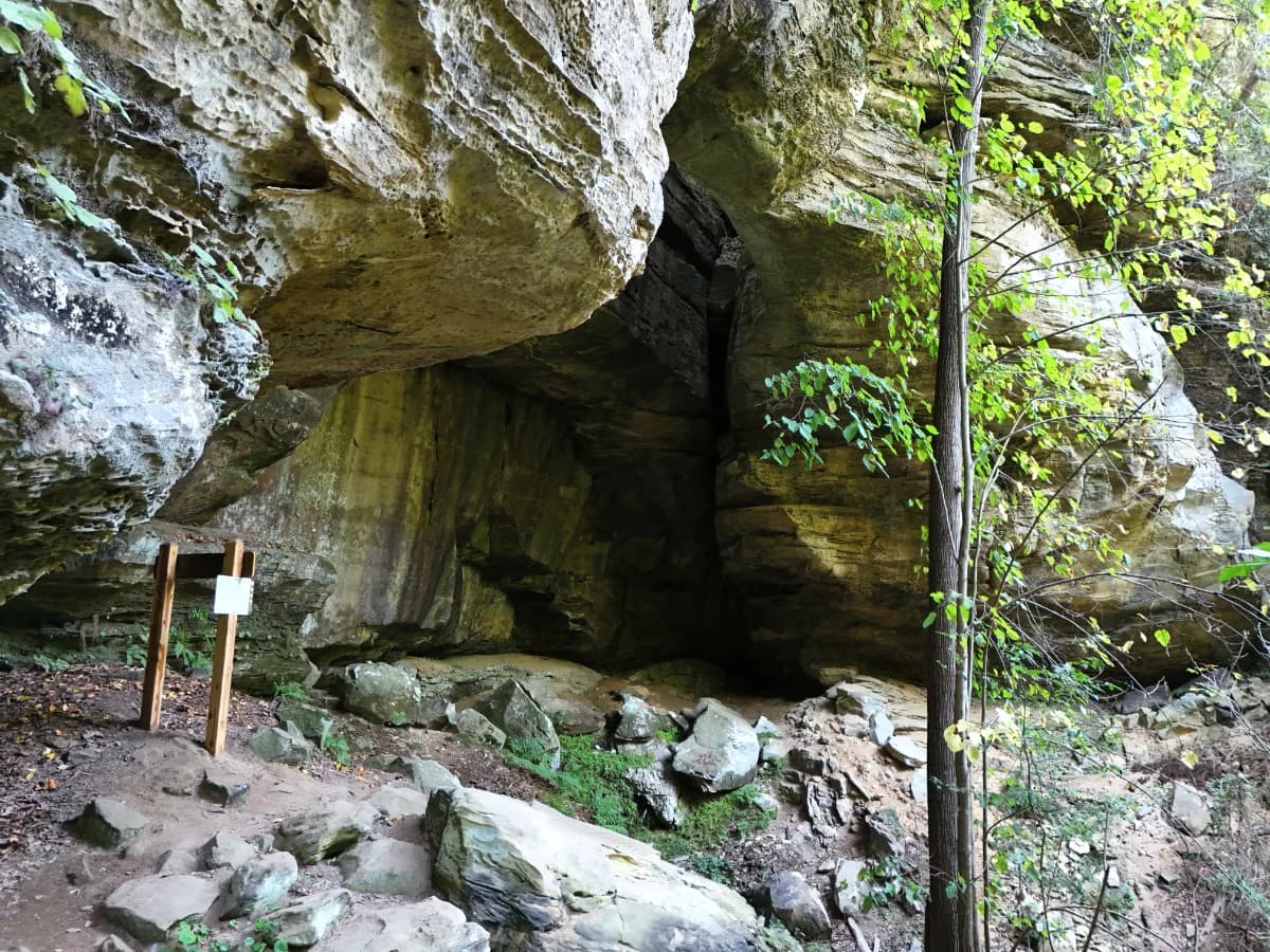
Fern Bridge
Fern Bridge is located closest to the Three Bridges trailhead near the Carter Caves State Resort Park Welcome Center.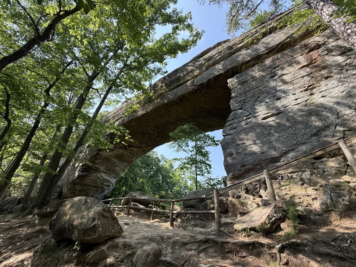
Natural Bridge
The main attraction at Natural Bridge State Resort Park, this sandstone arch spans 78 feet and is 65 feet high. Many of the trails at this park lead up to the base of the natural bridge. Any hikers who are unable to make the trek up to the arch can ride up via the skylift which will let you out onto Laurel Ridge Trail in which you’ll follow to the top of the arch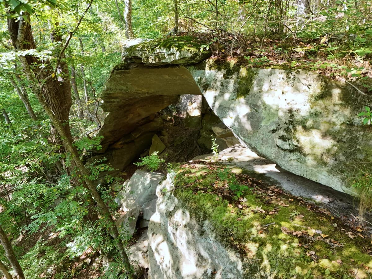
Raven Bridge
Raven Bridge is located closest to the Three Bridges trailhead next to Lewis Caveland Lodge and can be accessed via the Raven Bridge Trail if you do not want to the hike the entirety of the Three Bridges Trail.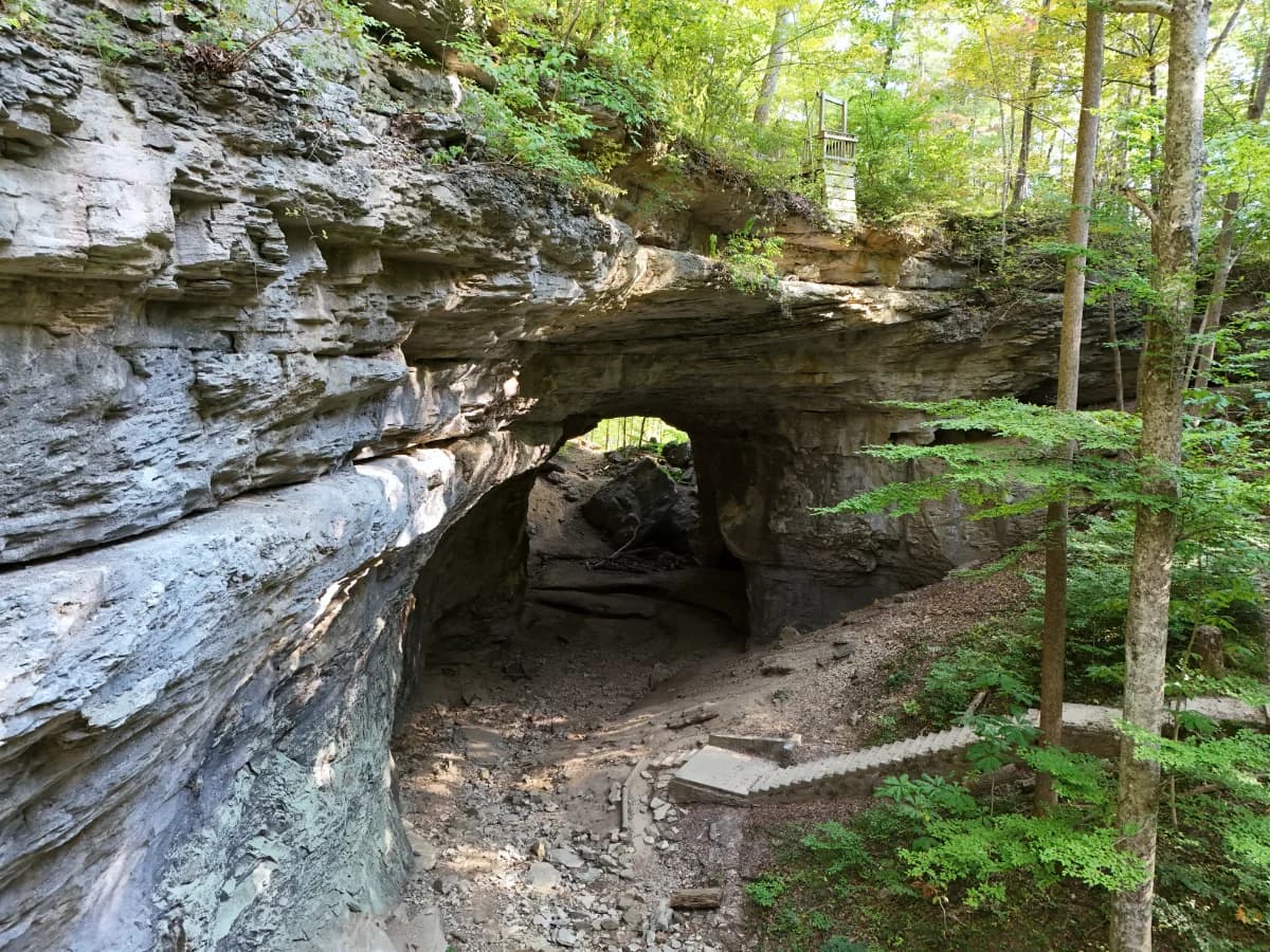
Smoky Bridge
Smoky Bridge is the largest natural bridge located at Carter Caves State Resort Park and be accessed easily via the parking lot below the pool if you do not want to hike the entirety of the Three Bridges Trail.Bridges

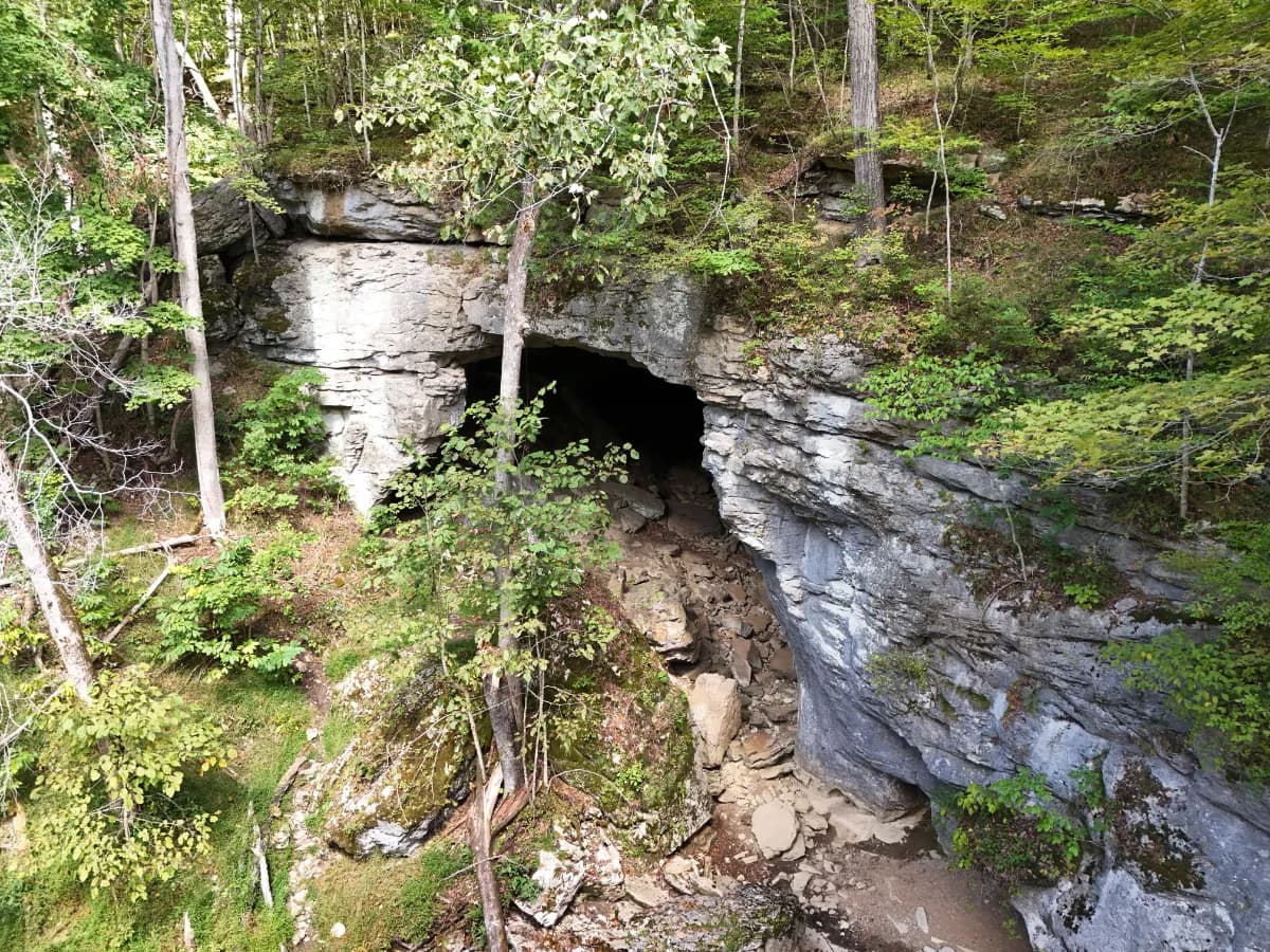
Caves

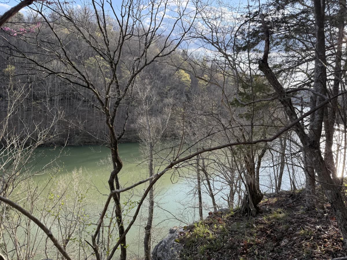
Lakes
Overlooks
Lookout Point
Lookout Point is an ideal place to view both the Natural Bridge and Battleship Rock from a different vantage point when traveling along Laurel Ridge Trail.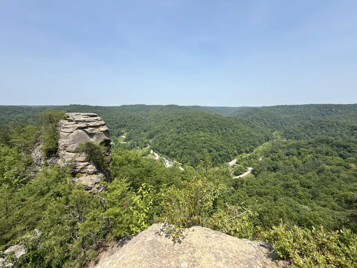
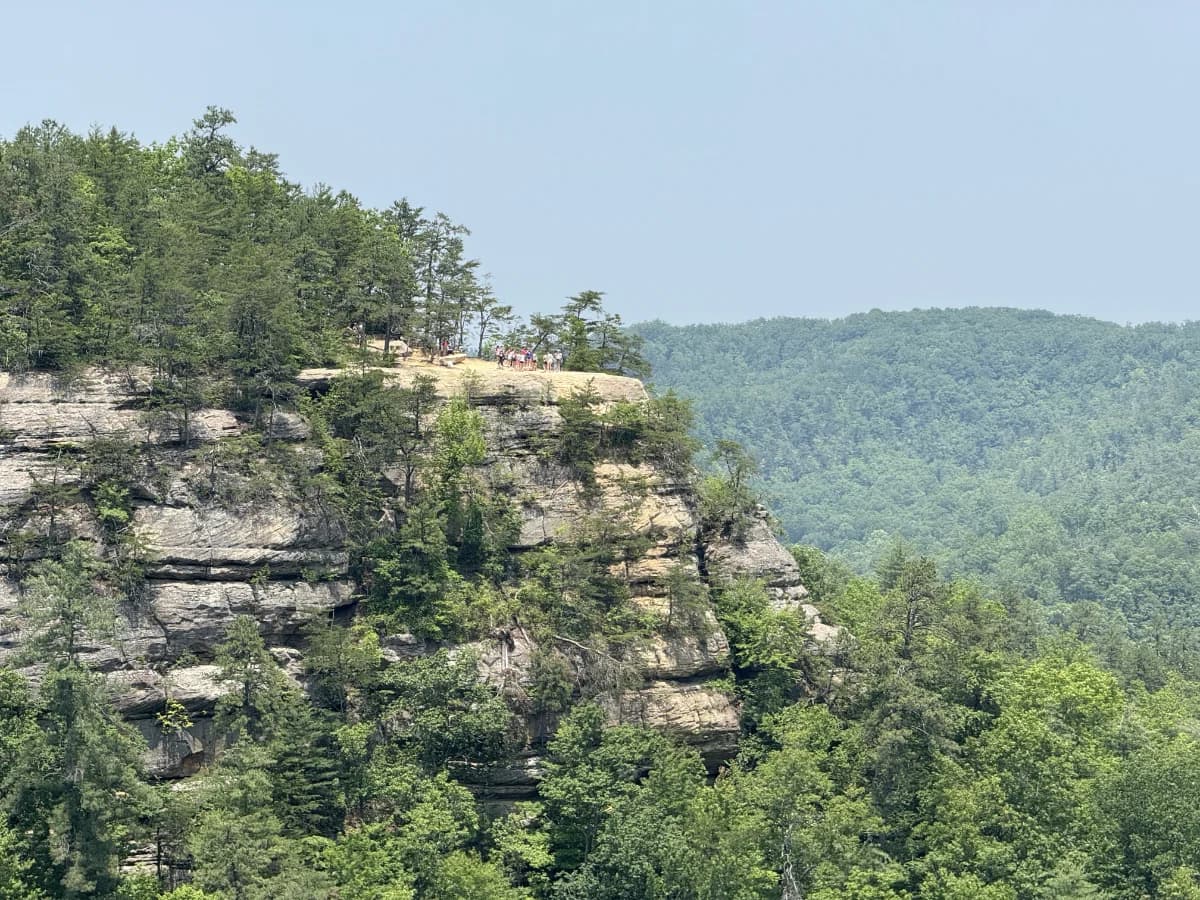
Lovers Leap
Located at the far end of Laurel Ridge Trail opposite of the Natural Bridge, you will find Lovers Leap. This overlook provides a beautiful view of the gorge and is home to an interesting rock formation that looks like a face if you view it from a certain angle.Peaks
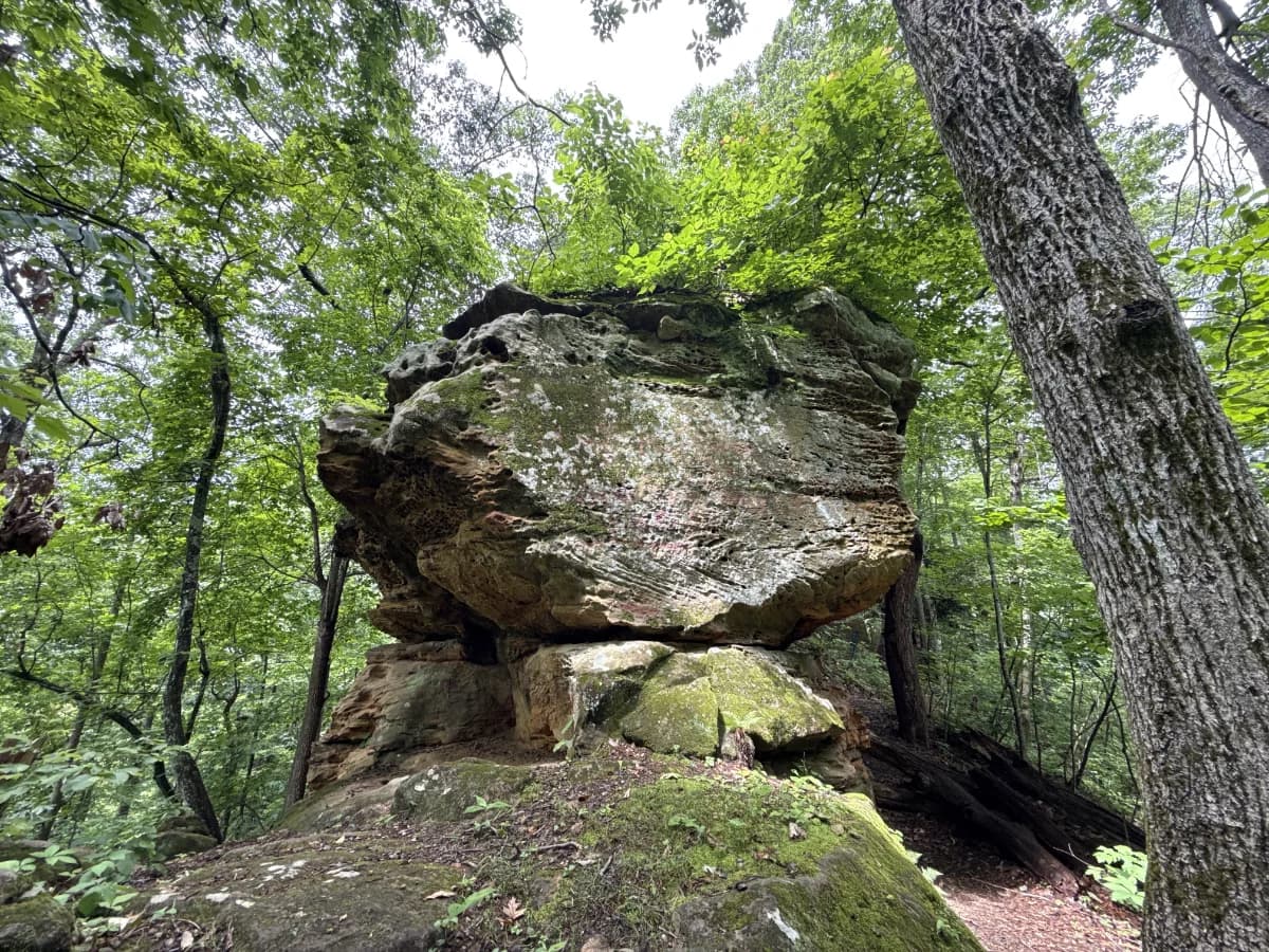
Amburgey Rock
Amburgey Rock is a rock formation found near Sheltowee Trace Trail #100 and just down the road from Lockeegee Rock Trail. It is a short hike to the top of the rock and provides a great view of the surrounding area.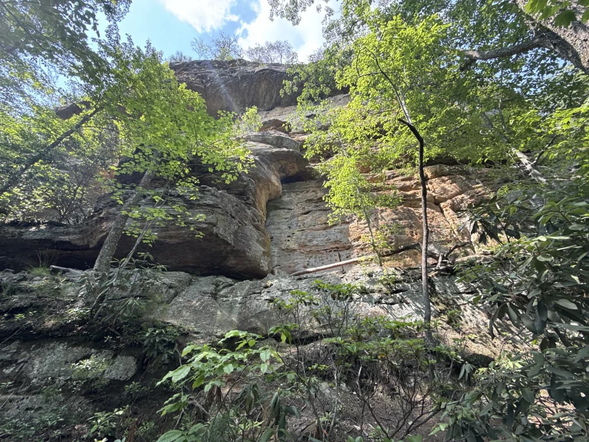
Battleship Rock
Battleship Rock peak is best viewed from the top of Natural Bridge. However, a side view of the rock can be seen while hiking alongside Battleship Rock Trail.Shelters

Natural Bridge State Resort Park CCC Shelters
There are many historic Civilian Conservation Corps built shelters along The Original Trail, all of which are a great place to rest while you make your way up to the Natural Bridge.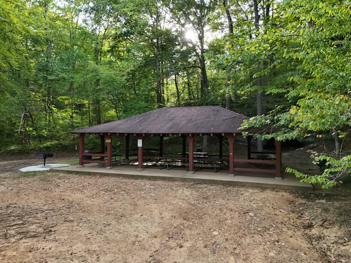
Shelter and Picnic Area
A covered shelter and picnic area is located across the bridge near the trail head.Streams

Cave Branch Creek
Cave Branch Creek runs alongside the portion of Horn Hollow Trail that is closest to the main road. You will cross a wooden bridge to continue along the trail, which is an ideal spot to view the stream and look for aquatic wildlife. 
Dog Slaughter Creek
Dog Slaughter Creeks runs parallel to Dog Slaughter Falls Trail and eventually empties out into the Cumberland River.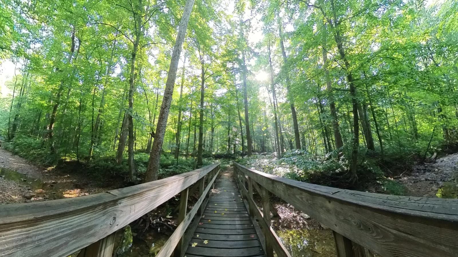
Martin Branch Creek
Martin Branch Creek runs along the frontside of the Rodburn Hollow Trail. You will cross a wooden bridge on both sides of the trail in order to cross over it. This is a great spot to look for aquatic wildlife.